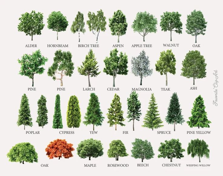
Data call! Your work could be the next dot on our global map! Join us in this initiative to map tree species with AI! Choose a license for your data and join us as a co-author. Together we can create a #universalmodel for #tree #species using #remotesensing #RGBI #deeplearning.
The Importance of Mapping Tree Species
Understanding the distribution and health of tree species worldwide is crucial for biodiversity conservation and climate change mitigation. According to a comprehensive assessment by the International Union for Conservation of Nature (IUCN), more than one-third of the world’s tree species face extinction. Island biodiversity is particularly vulnerable, with agriculture, logging, and urbanization posing significant threats, and climate change emerging as a growing concern. These findings were presented at the UN biodiversity conference in Colombia. Read more.
Leveraging AI and Remote Sensing Technologies
The initiative to map tree species globally relies on advanced technologies such as remote sensing, RGBI (Red, Green, Blue, Infrared) imaging, and deep learning. These technologies enable the collection and analysis of vast amounts of data, providing detailed insights into tree species distribution and health. By using satellite imagery and AI-based models, researchers can monitor changes in tree cover, detect deforestation, and assess the impact of environmental factors on forests.
Collaborative Efforts and Data Sharing
Collaboration is key to the success of this initiative. Researchers, environmental organizations, and the general public are encouraged to contribute their data on tree species. By choosing a license for their data, contributors can help create a universal model for tree species. This collaborative approach ensures that the data is comprehensive and up-to-date, facilitating better decision-making for conservation efforts.
Case Studies and Related Initiatives
Several related initiatives highlight the potential of AI and remote sensing in environmental monitoring. For instance, Google and Muon Space have joined forces to continuously scan Earth for wildfires using satellite imagery and AI fire-detection models. This collaboration aims to update imagery for authorities every 20 minutes, enabling early detection and containment of wildfires. Read more.
Similarly, Niantic, the company behind Pokémon GO, aims to build a richer 3D map of the world with a new version of the Scaniverse app. This app uses advanced scanning technologies to create detailed 3D maps, which can be used for various applications, including environmental monitoring. Read more.
The Role of AI in Biodiversity Conservation
AI plays a significant role in biodiversity conservation by enabling the analysis of large datasets and providing actionable insights. For example, AI-based deep learning models are used to analyze tree cover and assess the impact of deforestation on biodiversity. A study revealed that more than 50 lakh large farmland trees vanished between 2018 and 2022 in India, highlighting the need for sustainable agroforestry practices. Read more.
Conclusion
Mapping tree species using AI and remote sensing technologies is a crucial step towards understanding and conserving global biodiversity. By participating in this initiative and contributing data, researchers and environmental organizations can create a comprehensive and up-to-date model of tree species distribution. This collaborative effort will facilitate better decision-making for conservation efforts and help mitigate the impact of climate change on forests.
Ready to Transform Your Hotel Experience? Schedule a free demo today
Explore Textify’s AI membership
Explore latest trends with NewsGenie
